


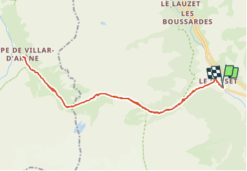
Le Casset, lac de la Douche, col d'Arsine, refuges de la Chamoissiere et de l'Alpe de Villar d'arène, et retour

seghth
User

Length
22 km

Max alt
2362 m

Uphill gradient
1115 m
Km-Effort
36 km

Min alt
1507 m

Downhill gradient
1117 m
Boucle
Yes
Creation date :
2021-06-26 09:00:36.542
Updated on :
2021-06-26 17:33:12.133
7h08
Difficulty : Medium

FREE GPS app for hiking
 SityTrail
IGN / Geographical institutes
SityTrail Plus
The world is yours!
About
Trail Walking of 22 km to be discovered at Provence-Alpes-Côte d'Azur, Hautes-Alpes, Le Monêtier-les-Bains. This trail is proposed by seghth.
Positioning
Country:
France
Region :
Provence-Alpes-Côte d'Azur
Department/Province :
Hautes-Alpes
Municipality :
Le Monêtier-les-Bains
Location:
Unknown
Start:(Dec)
Start:(UTM)
301698 ; 4984340 (32T) N.
Comments